
West community profile
Clermont.
Rolling terrain, outdoor access, and expanding westward connections.
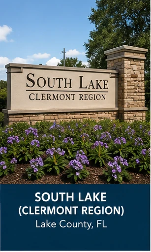
Clermont sits in southern Lake County, roughly 22 miles west of downtown Orlando, at the intersection of U.S. 27 and State Road 50. It occupies genuinely hilly, high-elevation terrain — some of it above 300 feet, which is unusual anywhere in peninsular Florida — wrapped around an 11-lake chain that gives the city both its geography and its outdoor-recreation identity.
Who may thrive here
Households drawn to a distinctly different physical landscape than the flat Orange County suburbs — hills, lake-chain recreation, and an active outdoor and athletic-training culture — who are comfortable trading some commute distance for that setting.
Community character
Clermont’s downtown sits on Lake Minneola with a waterfront park and a growing trail network built around the chain of lakes. The city has a national reputation in triathlon and endurance-sport training tied to its terrain, and its neighborhoods range from older lakefront streets near downtown to substantial new construction spreading along the SR 50 and US 27 corridors.
Transportation and access
Clermont’s roads are its identity: U.S. 27 runs north–south as the county’s primary connector, and SR 50 runs east–west directly into Orlando, and the city sits at their crossing. Florida’s Turnpike passes just east of downtown and is generally the fastest route into Orlando, while SR 50 and US 27 are the toll-free alternatives most locals use for shorter trips. Winter Garden and Horizon West lie east across the Lake–Orange county line; Groveland and Minneola, Clermont’s closest neighbors, sit just west and south. The drive into downtown Orlando runs longer than from most communities in this guide — commonly cited as 35 to 45 minutes by the untolled roads, faster via the Turnpike — which is the central tradeoff of choosing Clermont’s setting.
Schools, healthcare, and daily systems
- Commute at actual travel times
- Flood, insurance, and storm considerations
- Current school assignment boundaries
- Healthcare network access
- HOA or community development structures
- Planned roads and nearby construction
- Daily shopping and services
- Recreation and social connection
Potential tradeoffs
The distance from Orlando’s core employment centers is real and should be weighed against the terrain and lake access that draw people here in the first place. Growth along US 27 and SR 50 has been rapid, which means construction traffic and a still-maturing retail and services base in some newer subdivisions, particularly those furthest from the historic downtown.
Mary’s perspective
The comparison I make most often is Clermont against Winter Garden: both offer a historic lakefront downtown paired with large-scale new growth, but Winter Garden sits roughly 8 miles closer to Orlando and inside Orange County, while Clermont trades that proximity for hillier terrain and a larger, more connected lake system. What a map won’t convey is how much the elevation changes the feel of the place day to day — this is one of the only parts of Central Florida where you’ll genuinely notice hills while driving or biking. Before choosing it, worth investigating: which Lake County high school zone a specific address falls into, since South Lake and East Ridge draw from different parts of the city, and realistic drive times at your actual commute hours rather than off-peak estimates, since the gap between Turnpike and surface-road travel times here is unusually large.
Official resources
Verify school assignments, public services, infrastructure projects, insurance considerations, and property-specific requirements with the responsible agency or licensed professional.